
Travel: Laugavegur Trail Snapshot

The Laugavegur Trail Snapshot! That’s right, we hiked this iconic trail in the Highlands of Iceland, all 55km and all. We had snow, sun, and snacks! Overall, it was an awesome experience.
Check out a handful of our photos below to get a sneak peak. I’ll of course share more in the coming while, and I’ll even share the gear we relied on the most, and the gear we could have left at home (honestly, we used about 98% of what we brought!). Okay, photo time.
Laugavegur Trail Snapshot
First up, you can see the sign above – the start is in the north and the finish is in the south. Small note, if you’re booking the huts, that’s the only way to hike. You can, of course, hike south to north if you’re tenting, however, you’ll have far more of an uphill climb that way. The trail is meant to be hiked north to south. Okay, now it’s photo time.
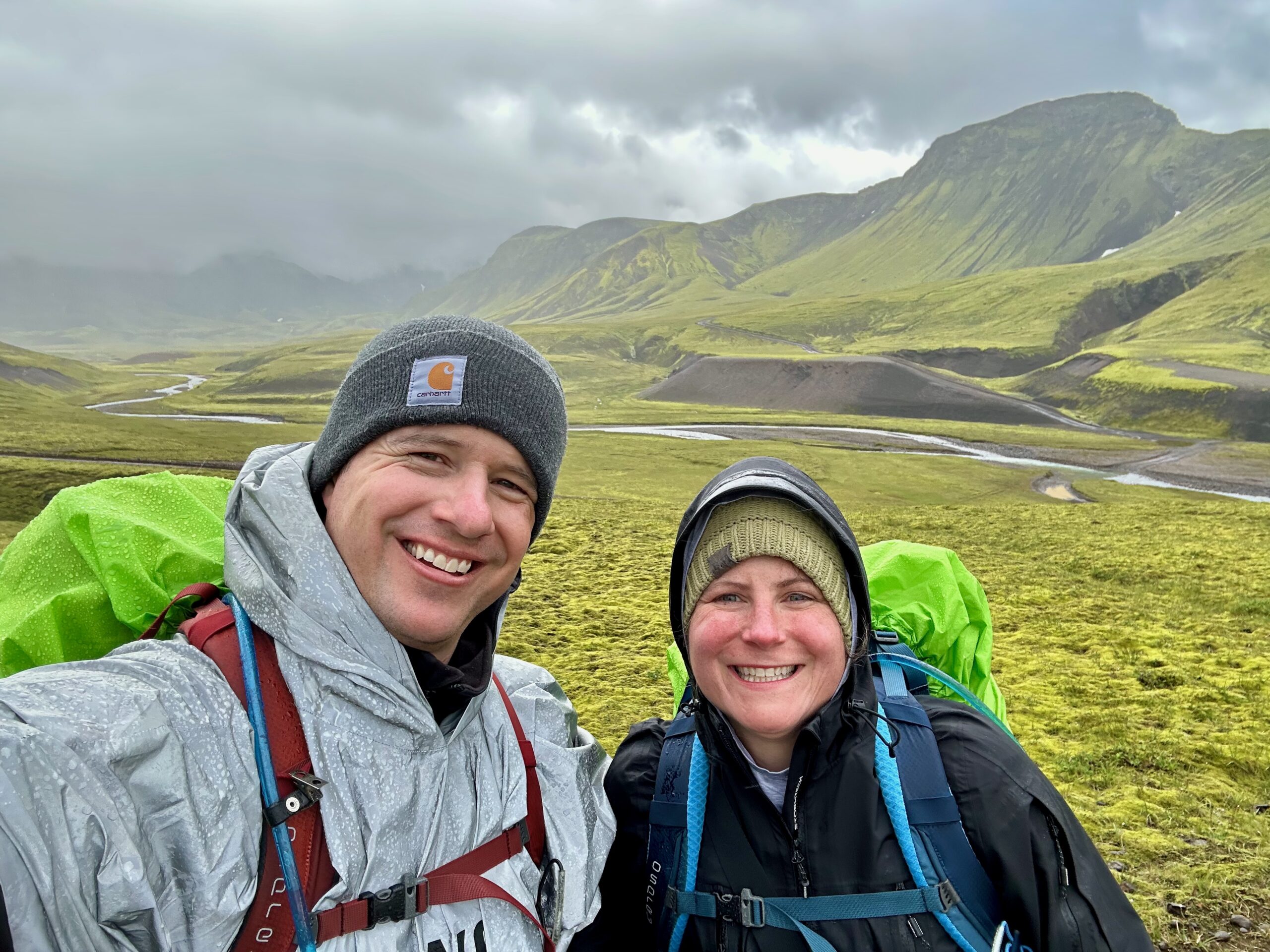
The highlands are incredibly beautiful. From rich green to misty air, it’s an experience unlike any other.


No two days are alike – from massive uphill climbs (about 500m on day one) to lava fields, and river crossings, the trail will keep you on your toes.
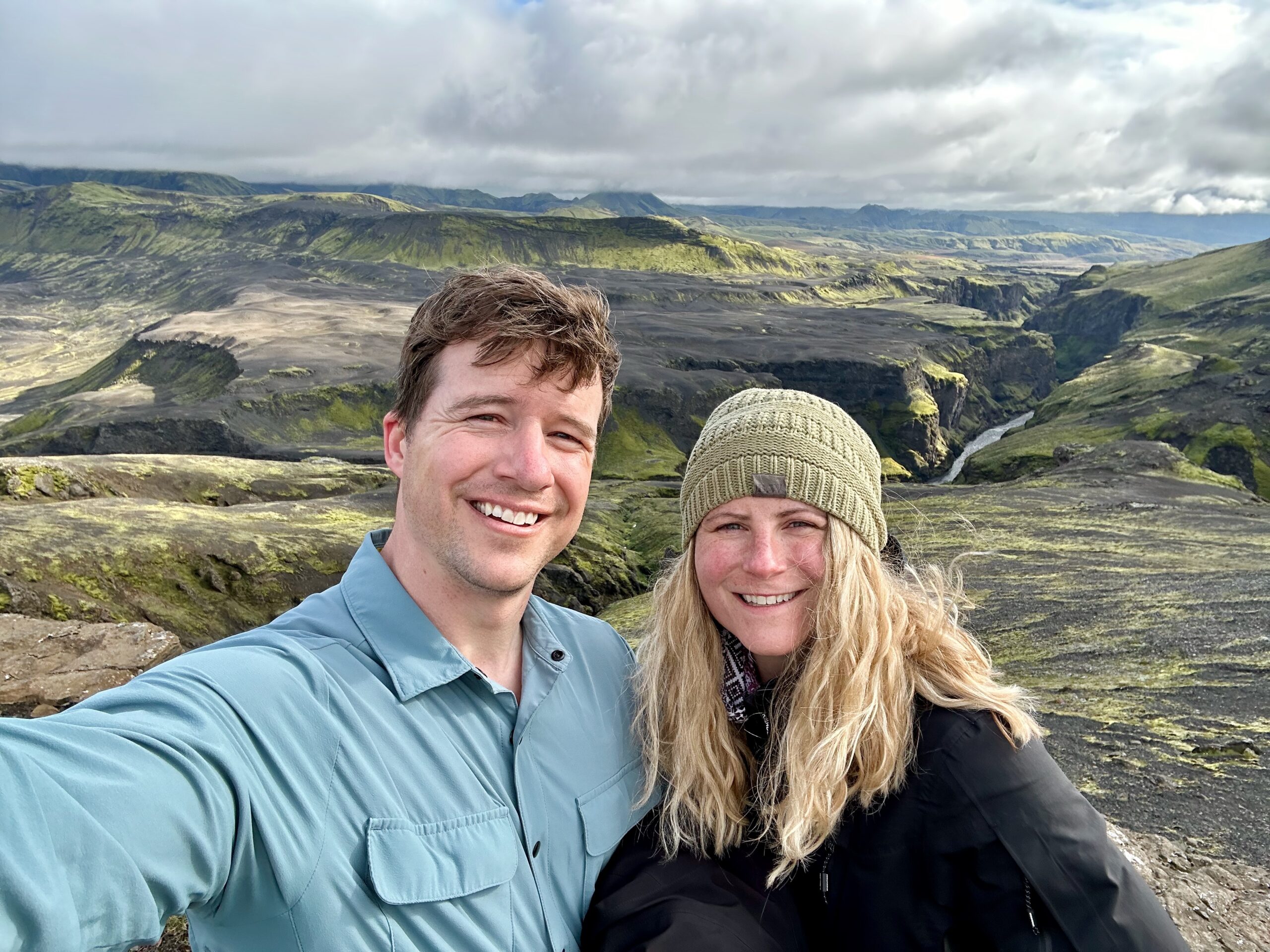
If you’re up for it, do check out some of the day hikes which are anywhere from 2-5 km from the huts. The gorge is one not to miss!

Well, there you have it – our Laugavegur Trail Snapshot.
Thanks so much for stopping by and we hope to see you again soon – especially as I share some more photos. River crossings in 8 degree weather, with glacier water that’s around 2 degrees? Sure, why not!
Oh, and pancakes for dinner, yes, please – peanut butter and all. So good.
Okay, more to come soon – bye for now!


You May Also Like

Recipe: Sweet Potato Burrito Bowl

Recipe: Mexican Lasagna
